
£12
Collins Postcode Atlas 2009 Britain & Northern Ireland • Mapping Guide VGC
Frenchay, Bristol
1 of 7
£12
Description
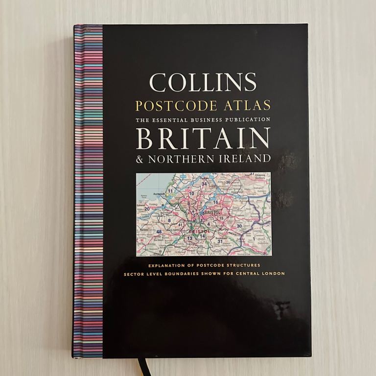
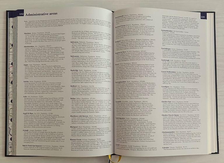
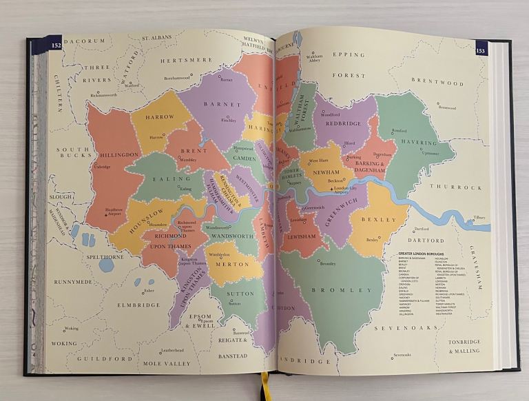
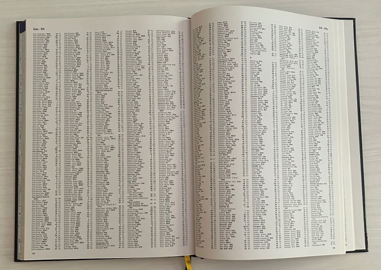
A detailed and reliable 2009 Collins Postcode Atlas covering all UK postcode areas and districts. Ideal for delivery planning, sales territory mapping, logistics, research, and collectors. Clear, large‑format mapping with central London sector detail. Clean, well‑kept copy in Very Good condition with minimal wear.
⏹️ The Details:
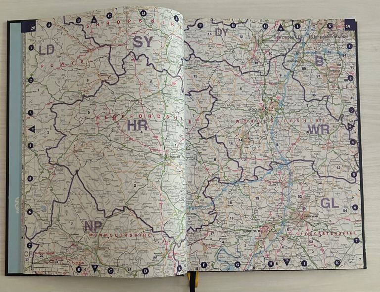
•> 2009 Edition with updated postcode boundaries — essential for logistics & planning
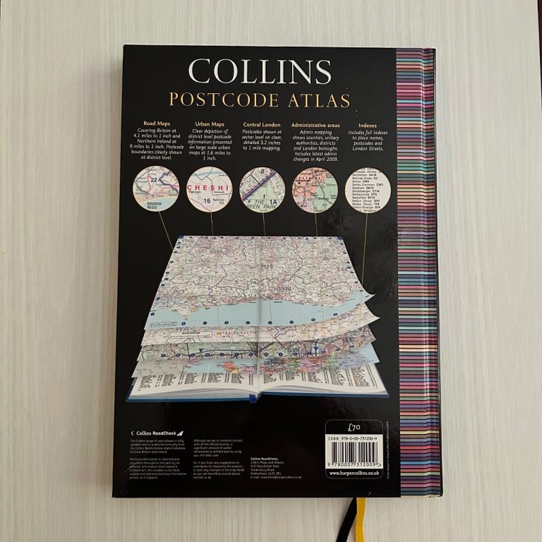
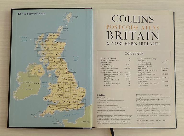
•> Full UK coverage with postcode areas, districts & London sector mapping
•> Large‑format hardcover with crisp, easy‑read cartography for fast reference
•> Ideal for business users: couriers, sales teams, analysts, researchers
•> Collectible mapping title - sought after by enthusiasts & vintage atlas buyers
•> This Hardback Atlas Delivers Clarity, Accuracy, and Cartographic Nostalgia
✍️ Open to Reasonable Offers!…Don't Miss Out!
🚚 Packed With Care | Shipped Promptly on Receipt of Order
📦 Collection Available From Bristol BS16 (Fishponds/Stapleton)
Posted: 8 days ago
Ad ID: 1513297265
Details
Stay Safe
"Only access Gumtree from gumtree.com and do not follow links sent by other users"
"Share photos and ask lots of questions about the items you are buying and selling"
"If an ad or reply sounds too good to be true, it probably is"
"Use the 'Reply to ad' button for your safety and privacy"
"Don't reply to email addresses hidden in text and pictures"
"Beware of fake Gumtree, eBay or escrow sites and invoices"
1 of 6


![image for Being Adam Golightly [Book]](https://img.gumtree.com/ePR8PyKf84wPHx7_RYmEag/e6b8792dae6f4e05a8_0758ed7c971e/86)


![image for Timeless Style [Book]](https://img.gumtree.com/ePR8PyKf84wPHx7_RYmEag/ba67ca8967b047bd85_6ecfb31f0d98/86)